|
|
|
This 1.8 kilometre trail on Jackie Martens' property begins on Coursey Line midway between William Street and Richmond Street (Highway 4). After walking down a (fairly steep) bank, you turn right into the forest and follow the path which eventually leads into a mature forest with tall oaks and maple trees. Keep meandering along the path and it eventually drops you at a large pond which is situated just south of the Highway 4 bridge. From there, take the path along the river back to the trail head.
There is an option midway through the treed portion of the trail to link up with the river portion, for a shorter outing.
This trail is tall and wide enough for horses.
Beware of flood waters during the spring. In fact, it is recommended that the river portion of the trail not be used during the spring thaw.
View Prospective Loop on Martens Trail in a larger map
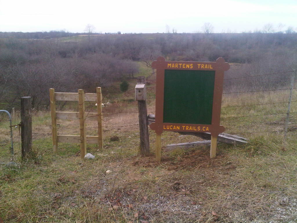
To locate the starting point of this trail, look for the sign on the west side of Coursey midway between William and #4. Here's what you'll see as you're driving north on Coursey:

|
|
|
